

There is a simple beauty to the backcountry of Idaho in winter. A varied set of geographic features from the dry Columbian plateau region to large snow covered mountain ranges can be observed. This is true backcounty. Flying between mountains, through deep gorges, all the while looking for small tiny landing strips. There is no better an aircraft for such a venture than the venerable J3 Piper Cub fitted with tundra tires.
Preflight Brief:
I decided to carry out this simple flight to get a view of the backcountry. While the total flying time was not more then 1 hour, the VFR flight was broken up into two specific legs. This consisted of flying northeast from Emmett Airport (S78), then north through the mountain range, and landing at High Valley (ID35) landing strip. This was followed by leaving the next day from High Valley, and heading north to land at Cascade airport (U70). The route only contained one short section of airspace upon departure.
VFR Flight Plan
A detailed description of the flight plan is below:
My VFR Flight Plan (S78 to ID35 to U70)

My VFR plan for the 1st leg consisted of the following:
- heading northeast after takeoff from Emmett Airport (S78) to Black Canyon Reservoir
- Head north at the end of the reservoir keeping the north-south mountain chain off my left wing. Use the mountain range and electric wires for visual reference.
- Upon spotting the ranch, head northeast through the pass between the mountains to High Valley (ID35) landing strip .
My VFR plan for the 2nd leg was the following:
4. Take off from High Valley heading northeast looking for gap leading to the valley running north and south.
5. Follow the valley north to Cascade Airport (U70), using Snow Bank mountain and the lake Cascade for visual guidance.
Leg1: The weather on the day of leg1 was very good. I looked at the METAR data at Boise Idaho (KBOI) located near Emmett.
KBOI 13003KT 10SM FEW110. Therefore, few clouds at 11000 feet with 10 mile visibility.
EMMETT (S78) AFD

A look at the EMMETT AFD led to an interesting read. The AFD mentioned watching out for golfers on the runway. This is expected as the AFD also mentioned that the golf course was on both sides of the runway!
A small agricultural runway was also described. After allowing the Cub to warm up, I taxied out to runway 28.
Not seeing any golfers, I gave the cub full throttle and took off. A quick flyby of Emmett airport was conducted before heading northeast.
EMMETT (S78) flyby

Black Canyon Reservoir

The large 5896 feet mountain peak at the end of the mountain chain off my left wing was an important visual reference. For this stage of the flight I used it to help navigate north in search of the ranch and the break in the mountains off my right leading to High Valley.
Large 5896 feet mountain peak at the end of the mountain chain off my left wing

The small line of electric lines was also useful. Before long the tiny break in the mountains on the right was spotted along with the ranch on the VFR chart. I turned northeast and headed to High Valley (ID35).
Tiny gap in mountains off my right wing leading to ID35
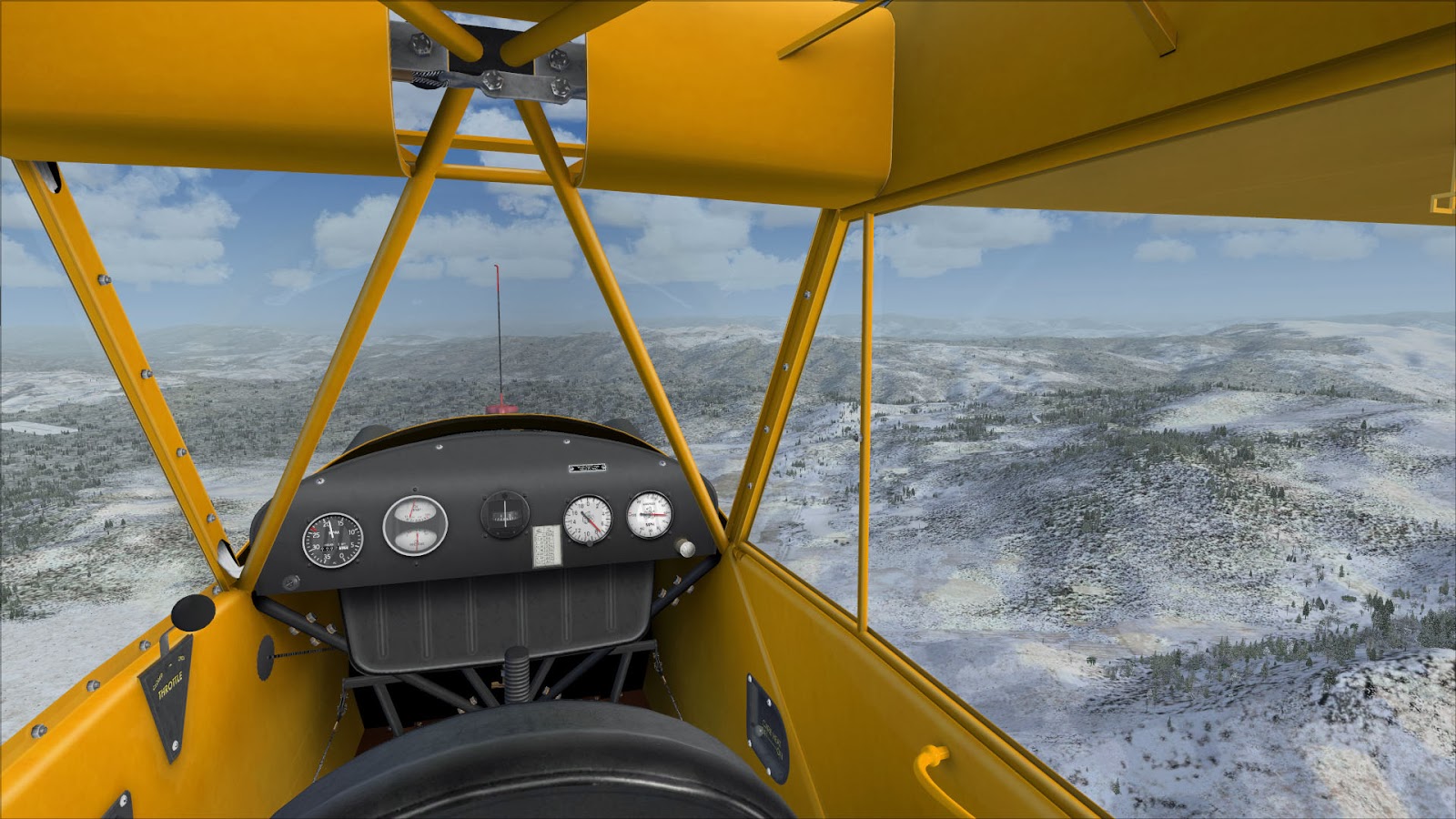
Unidentified landing strip with High Valley (ID35) ahead.

Luckily, I had lowered my altitude to 1000 feet above field elevation before approach. The track heading northeast helped line the Cub up for approach to runway 36 and no sharp maneuvers were required. I was able to set the cub to 15000 rpm and enjoy a nice descent onto the short 2300 foot RW 36. Just hugging the trees on final allowed me to stop before the end of the runway. The small size of the dirt covered airstrip did not leave much room for error. Luck was on my side as there was no crosswind upon final. I still wonder how big of a plane could land on this size of a strip.

I decided to stay the and shut the cub off for the night. Unfortunately, the next day I was greeted with dreary weather. Snow had passed through leaving dark higher clouds behind with a base of 11000 ft according to METAR data from KMYL. The wind was quite acceptable at only 5 kts, and visibility was good. I made the decision to head out.
Lining up for takeoff from runway 36

I had some safety concerns before taking off from High Valley. Given the runway was located at 4883 feet in elevation, the higher altitude would lower engine power upon takeoff. Given the short field and the tall trees at the end of it, I was nervous! The Cub was given ample time to warm up after starting the engine. Then the Cub was pulled to the very end of field before taking off from RW 36. After a tense 30 seconds, the J3 was climbing over the trees as sweat was coming down my brow. In some ways my concerns had been justified as the Cub did take require a lot more runway for takeoff than expected.
Climb out from High Valley (ID35)

After the tense takeoff, I slowly climbed to about 5500 feet. The gap in the mountains along with Highway 55 was soon discovered.
Gap and Highway 55

Snow Bank Mountain loomed visible to the north shone like a beacon and was visible the entire trip from High Valley to Cascade. The mountain only became more impressive as I flew closer. The peak of the mountain is labelled as 8360 feet!
Snow Bank Mountain

Following north along the lower flatland took me straight towards the town of Cascade and the Cascade airport (U70). On approach to the airport, I could see Snow Bank Mountain, Lake Cascade, and Highway 55.
The AFD for U70 mentioned that aircraft were not to fly over the town located northwest of the airport.
Approaching Cascade Airport (U70)

Surprisingly the elevation of Cascade Airport was not much lower than High Valley at 4742 feet.
Unfortunately I tried to make some sharp maneuvers on final and was treated to some very unpleasant reactions from the Cub. This was most likely due to the higher altitude.
Landing RW 30 at Cascade (U70)

To be honest, even though there were no crosswinds, I had a bear of a time landing at U70. My sharp maneuvers and the Cubs reactions to them had been quite unsettling. Landing onto runway 30 at U70 was not very smooth to say the least. The landing on the short dirt runway at High Valley had gone much better!
Conclusion:
There are many different things that can be garnered from the use of FSX to simulate real world flying.
While we are not really flying a plane, we can learn about real world aviation. We can learn about flying a complicated jet along an airway, or about flying a simple GA aircraft through the backcountry of Idaho. To me this is the beauty of flight simulation and everything it has become!

There were quite a few lessons that I garnered from this trip. One of the most important lessons was to not under estimate the effects of altitude on the aircraft. Flying an aircraft at a higher elevation is one thing, but landing and taking off at a higher elevation is another! I also learned to be more careful with sharp maneuvers with the Cub at a higher elevation. The use of the AFDs was also an eyeopener. Good weather conditions were crucial for a flight like this to become a reality with the limited Cub. A final lesson was to expect the unexpected, such as rivers drying up, and unexpected landing strips not showing on the VFR chart.
Below is a video I found on Youtube of a C180 flying through the backcountry of Idaho.
If you're ever looking for a really neat strip to fly into, there's a beautiful freeware Johnson Creek (3U2) scenery out there somewhere! Always a fun one to fly in to. Nice flight, cheers!
ReplyDeleteThanks for the tip! I will take a look for 3U2.
DeleteBill